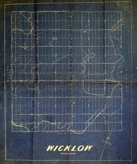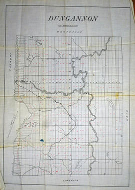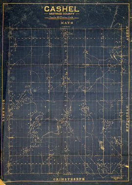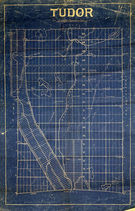
- CA ON00156 M/M420-2169 - 2183/M420-2182
- Item
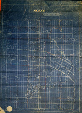
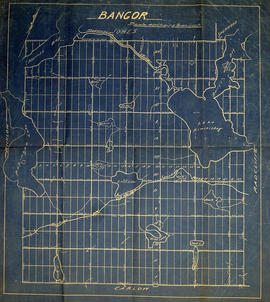
- c. 1860
Part of Map collection
A blueprint reproduction of a map of Bangor Township in Hastings County, Ontario. The map features the names of neighboring townships, lot and concession numbers, rivers (Madawaska etc.), lakes (Papineau, “Kiminiskeg”, Loon, etc.), bays (Barry’s, Harriss etc.) and the Hastings Opeongo Junction Road. Original map circa 1860. Scale 40 chains to an inch.