- CA ON00156 M/M440-1473
- Unidad documental simple
- 1785
Parte deMap collection
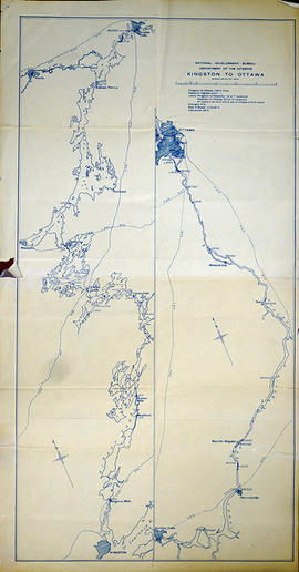
A copy of an original map by Surveyor General John Collins showing land from Presqu'ile to Kingston in 1785. Scale: 4 miles : 1 inch.
Photocopied by the Archives of Canada 10 Jan 1990.
Sin título