Print preview Close

Showing 111 results

Archival description
Geographic features With digital objects
Print preview Hierarchy View:
Road Map of Hastings County 1959
Road Map of Hastings County 1969
Seymour Township Map # 443773W
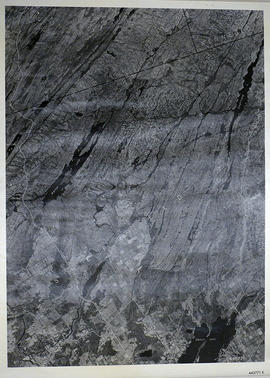
Sheffield Township Map # 444771E
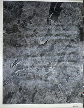
Sheffield Township Map # 445771E
Sidney Township Map # 442773E
South and Central Hastings Map
Stapley, Forde Samuel Russell/Smith, Sarah Almina/Bird,Kenneth Mulholland
Thurlow Township Map # 443772E
Topographic Map of Ontario - Belleville Sheet
Topographical map of Bancroft - east half
Topographical map of Bancroft - west half
Topographical map of Bannockburn - Canada sheet
Topographical Map of Belleville - Canada sheet - east half
Topographical map of Belleville - east half
Topographical map of Belleville - west half
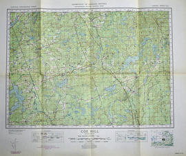
Topographical map of Coe Hill - Canada sheet
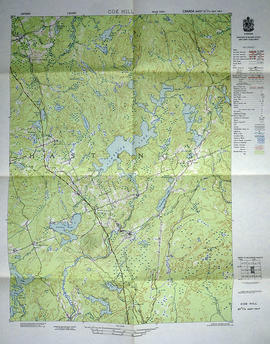
Topographical map of Coe Hill - east half
Results 81 to 100 of 111