Mostrando 91 resultados

Descripción archivística
Sidney, Township of Con objetos digitales
Imprimir vista previa Hierarchy Ver :

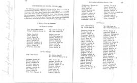
Copies of correspondence and historical notes on the Stone Church of Sidney Township

  • CA ON00156 2020-050
  • Colección
  • 1930-1972

Poor quality photocopy of history of the Stone Church in Sidney Township, with order of service for 75th anniversary event held on 19 October 1930 (the scan of this item was made from the original in file TR 3875). Three letters with government of Ontario officials concerning the installation of a plaque to commemorate the church in the early 1970s.

Sidney Township Map # 442773E

  • CA ON00156 M/M470-2591 - 2616/2591
  • Unidad documental simple
  • c. 1950
  • Parte deMap collection

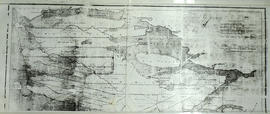
A reproduction of an air survey photograph produced by the Ontario Ministry of Natural Resources. Map # 442773E of Sidney Township in Hastings County, Ontario. Circa 1950.

The photograph shows Sidney Township, Concession 1 to 8, Lots # 1 to 25, Hwy 33 and the Trent Canal and Frankford Village, southeast part of Murray Township.

Donated by Walter I. Watson, P. L. S.

Sin título

Sidney Township : Glen Ross

File contains a manuscript history of Glen Ross from its founding ca. 1859 as the settlement of Tupperville to ca. 1918, by Mrs. Arthur Pyear. Also present is a letter from Mrs.Arthur Pyear to Gerry Boyce, 3 June 1965 accompanying the history.

Sin título

Hydro-Electric Power Commission of Ontario, Frankford Section

  • CA ON00156 M/M430-2995 - 2996, 3018 - 3021, 3031/3020
  • Unidad documental simple
  • c. 1950
  • Parte deMap collection

An original map produced for the Hydro-Electric Power Commission of Ontario, concerning hydro power lines, stations and transformers. However, the map also features railways, roads and land boundaries.

This map is of the North Section - Frankford Rural Power District. The total area includes parts of Thurlow, Huntingdon, Sidney, Rawdon, Campbellford, Seymour, Brighton, and Percy Townships. Circa 1950.
Donated by David Pershik.

Stone Church

The file contains copies of the Programme for the "Unveiling and Dedication of Historical Plaque at Stone Church, Fourth of Sidney, Sunday, October 23, 1977", along with handwritten notes of the address given by the then President of the Hastings County Historical Society, Mrs. Patricia Bennett.

The Vandervoorts of Sidney Township

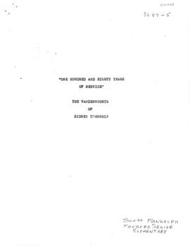
This file contains a copy of a school project written by Scott Randolph from Foxboro Sr. Elementary School. It is titled "One Hundred and Eighty Years of Service" The Vandervoorts of Sidney Township and contains information about the genealogy of the Vandervoort Family commencing in 1784 with Peter Vandervoort.

Petition of J. W. D. Moodie & others

Petition of the state of a road leading to 2nd Concession of Sidney, signed by J. W. Dunbar Moodie, William Symons, Benjamin Hinker, William Haddrell, Joseph Bedford, G. Booth, James Booth, Farley Ellis, Robert Bennett, James Winelett, William Harris, Daniel Perry, Walter Lackie, and W. Tofrell.

Map of District of Prince Edward County

  • CA ON00156 M/M420-1076
  • Unidad documental simple
  • 1835
  • Parte deMap collection

Map showing townships in the District of Prince Edward County: South Murray, Sidney, Thurlow, Ameliasburgh, Sophiasburgh. See boundary lines on map. Surveyed by Publius Virgillius Elmore, D.L.S. Dated 1835. Map copied from the Archives of Ontario.

Sin título

Plan of Hastings for Hastings Directory

  • CA ON00156 M/M420-1080
  • Unidad documental simple
  • 1864-1865
  • Parte deMap collection

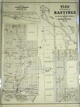
A map of Hastings County outlining townships:
Marmora, Lake, Madoc, Tudor, Grimsthorpe, Elzevir; Rawdon, Huntingdon, Hungerford, Sidney, Thurlow, Tyendinaga - as well as the northern townships.
Inset is "the Village of Marmora." Surveyed by H. A. F. Macleod, C.E. and P.L.S. Published by W. A. Little Lith., Montreal in the 1864-1865 copy of the Hastings Directory . Scale: 1:190,000.

Sin título

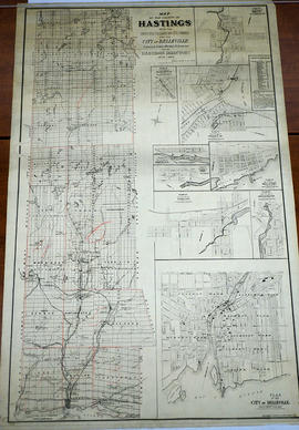
Map of Hastings with the Principal Villages and the City of Belleville

  • CA ON00156 M/M420-1088
  • Unidad documental simple
  • 1879-1880
  • Parte deMap collection

A map of Hastings County including the Town of Belleville and other principal villages:

Trenton, Madoc, Marmora, Tweed, Bridgewater, Stirling, Wicklow, Bangor, Herschel, Monteagle, Carl, Dungannon, Wollaston, Limerick, Cashel, Tudor, Grimsthorpe, Elzevir; Rawdon, Huntingdon, Hungerford, Sidney, Thurlow, Tyendinaga.

Scale: 3 miles =1 inch. Published by Evans & Bolger, P. L. Surveyors, P.L.S. in 1879-1880.

Sin título

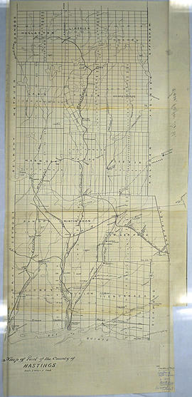
Map of Hastings County in 4 sections

  • CA ON00156 M/M420-1090
  • Unidad documental simple
  • 1894
  • Parte deMap collection

A map of Hastings County outlining townships from the Bay of Quinte in the south, to Wallaston, Limerick and Cashel in the north.
Map is in four sections. Scale: 3 miles : 1 inch. Original map is dated 1894. Photocopy from the Archives of Ontario.

Map of the Counties of Hastings and Prince Edward

  • CA ON00156 M/M420-1093
  • Unidad documental simple
  • 1898
  • Parte deMap collection

A "Map of the Counties of Hastings and Prince Edward." In 1898, the lots, concessions, churches, schools and mines are shown of the townships in Hastings and Prince Edward. Scale: 1.5 miles to an inch. Published by the Canadian Map Publishing Company in Hamilton, Ontario, for the Belleville Sun. Revised by Henry Carre, C.E. Inset is the map of North Hastings, scale 400 chains to an inch.

Sin título

Map of Hastings with townships

  • CA ON00156 M/M420-1101
  • Unidad documental simple
  • c. 1916
  • Parte deMap collection

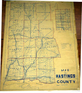
A map of Hastings County outlining the twelve townships:
Marmora and Lake, Madoc, Tudor, Grimsthorpe, Elzevir; Rawdon, Huntingdon, Hungerford, Sidney, Thurlow, Tyendinaga.
As well as, the lots and concessions. Circa 1916.Scale: 4 miles: 1 inch.

Donated by K.G.M. Ross.

Resultados 1 a 20 de 91