Print preview Close
Showing 42 results
Archivistische beschrijving18 results with digital objects Show results with digital objects

Topographical map of Bancroft - west half

Topographical map of Belleville - west half

Topographical map of Belleville - east half
Topographical map of Campbellford - west half
Topographical map of Campbellford - west half
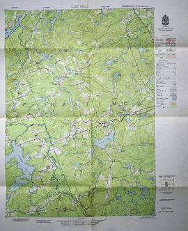
Topographical map of Coe Hill - west half
Topographical map of Denbigh - east half
Topographical map of Denbigh - east half
Topographical map of Denbigh - Canada sheet
Topographical map of Denbigh - Canada sheet
Topographical map of Kaladar - east half
Topographical map of Kaladar - east half
Topographical map of Peterborough - east half
Topographical map of Peterborough - east half
Topographical map of Port Hope
Topographical map of Port Hope
Topographical map of Presqu'ile - east half
Topographical map of Presqu'ile - east half

Topographical map of Tweed - east half

Topographical map of Tweed - west half
Topographical maps of Wellington
Topographical maps of Wellington

Topographical map of Bancroft - west half

Topographical map of Bannockburn - Canada sheet
Topographical map of Barry's Bay - Canada sheet
Topographical map of Barry's Bay - Canada sheet
Topographical map of Bath - Canada sheet
Topographical map of Bath - Canada sheet
Topographical map of Brockville - west half
Topographical map of Brockville - west half
Topographical map of Campbellford - west half
Topographical map of Campbellford - west half
Resultaten 1 tot 20 van 42
- 1
- 2
- 3
- Volgende »