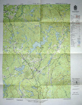
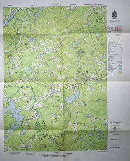
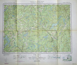
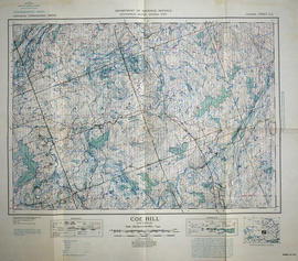
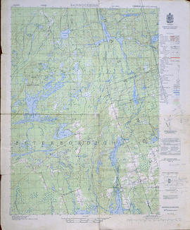
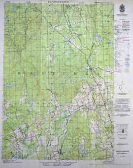
Topographical Map of Belleville - Canada sheet
- CA ON00156 M/M470-2990
- Item
- 1950
Part of Map collection
A topographical map of Belleville - Canada sheet #31 C/3 (west half). Area extends from North-Honeywell corner to South-Conscecon Lake and from East- Hungry Bay to West [racist slur redacted] Narrows. Map was published by the Department of National Defence in 1950. Scale 1:50,000.
Canada. Department of National Defence