"Cummins Rural Directory Map:" A map of South and Central Hastings, in 1923, featuring post offices, hamlets and lot owners. Map is surrounded by advertisements. Published by Cummins Map Co., Toronto. Dimensions 71cm x 50.5cm.
A Geological Map of the Madoc Gold Region, 1866. Geological data on map was taken principally from the reports of the Geological Survey of Canada. Secondly, by information and facts obtained on the spot by gentlemen engaged in the gold fields. What follows is a description of the general geological character of the area.
Author: Henry White, P.L.S. Published by G. B. Ware, 16 Toronto Street, Toronto, Ontario.
A map containing focused maps of: Trenton, Belleville, Prince Edward County, Frankford, Picton, Bancroft, Deseronto, Stirling, Tweed, Marmora and Madoc. Insets refer to roads, streets and highways. Published by Millhouse Maps in 2001.
A reproduction of an air survey photograph produced by the Ontario Ministry of Natural Resources. Map #446773E of Madoc Township in Hastings County, Ontario. Circa 1950.
The photograph shows the northern part of Madoc Township, Bannockburn, Tudor Township, Concession 1 to 9, Robinson Lake, Westerly to Millbridge, Moira River, Highway 62, and the Canadian National Railway.
A reproduction of an air survey photograph produced by the Ontario Ministry of Natural Resources. Map #445772W of Madoc Township in Hastings County, Ontario. Circa 1950.
The photograph shows Madoc Township, Concession 5 to 9, Huntingdon Township Concession 14, northwest Elzevir Township, Queenboro and Black River.
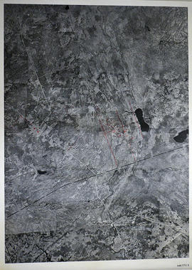
A reproduction of an air survey photograph produced by the Ontario Ministry of Natural Resources. Map #445773E of Madoc Township in Hastings County, Ontario. Circa 1950.
The photograph shows Madoc Township, Concession 1 to 7, Hwy 62, and Moira River Watershed, Eldorado, Lake Township, Concession 3 to 10.