
Reproduction of a topographical Map of the New Welland Canal

Canada Mines and Technical Surveys

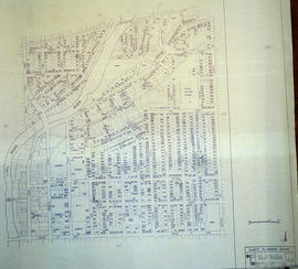
By-law Map #4 of the City of Bellleville

By-law Map #3 of the City of Bellleville

Proposed Reconstruction of Corby Park in Belleville
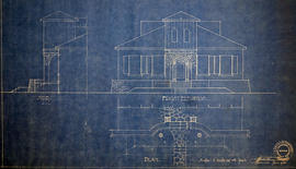
Plan of Elevations on Ponton Home in Belleville

CNR Crossing at Cannifton Road Blueprint

Plan of Market Square in Belleville

Blueprint of CNR Right of Way in Belleville

Highway crossing #1 at Bessemer and Barry's Bay Railway

Plans for St Peter's Presbyterian Church

Plans for Centennial Secondary School
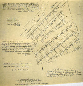
Survey Plan for Meyers Family Property

Highlands of Hastings, Trenton and Belleville Maps
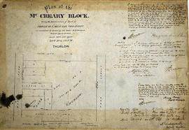
Plan of McCreary Block in the City of Belleville (amended)

Belleville Map with Property Boundaries and Topographical Features

South City of Belleville Map with Property Boundaries in 1976

City of Belleville Map with Property Boundaries in 1981
East City of Belleville Map with Property Boundaries in 1976
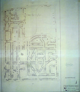
Central City of Belleville Map with Property Boundaries in 1976