Mostrar 34 resultados
Descrição arquivística
...So You're On Your Way!

Topographical Map of the Belleville to Kingston

Topographical Map of east Belleville - Canada sheet

Topographical Map of west Trenton - Canada sheet

Topographical map of Bancroft - west half

Topographical map of Belleville - west half

Topographical map of Belleville - east half
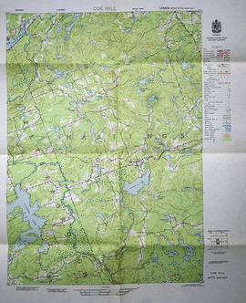
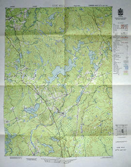
Topographical map of Coe Hill - west half

Topographical map of Tweed - east half

Topographical map of Tweed - west half

Reproduction aerial photographs of Deseronto, Ontario

Collage of topographical maps of Trenton area

Topographical Map of Ontario - Campbellford sheet
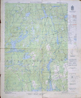
Topographical Map of Bannockburn - west half
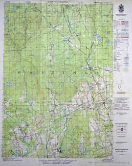
Topographical Map of Bannockburn - east half

Topographical map of Bancroft - west half

Topographical map of Bannockburn - Canada sheet
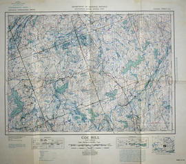
Topographical map of Coe Hill, Ontario
Topographical map of Coe Hill - east half

Topographical map of Duck Island
Resultados 1 a 20 de 34