Hydro-Electric Power Commission of Ontario, Napanee Section
- CA ON00156 M/M430-2995 - 2996, 3018 - 3021, 3031/2996
- Item
- 2 Mar 1931
Part of Map collection
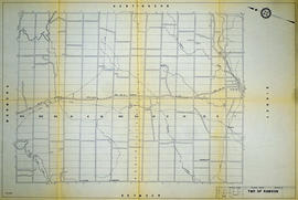
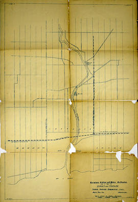
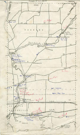
A reproduction of an original map produced for the Hydro-Electric Power Commission of Ontario, concerning the boundaries of the Napanee Rural Power District, center section. However, the map also features railways, roads and land boundaries. Dated March 2, 1931. Scale: 2 inches = 1 mile.
The map includes the townships of Tyendinaga, Richmond and Camden (East).
Donated by David Pershick.