A reproduction of "A New & Accurate Map of the Province of New York and Part of the Jerseys, New England and Canada. Showing the Scenes of our Military Operations during the Prejant War- Also the New Erected State of Vermont." Originally published by J. Bow on October 31, 1780. Date of reproduction is unknown.
A map of Sidney Township, part of Concession #1 and Broken Front, October 18th, 1912. The map details a tract of land expropriated for Trenton Air Base. Scale: 12.5 chains : 1 inch.
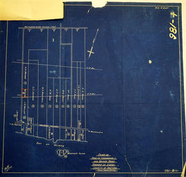
Attached is a letter dated May 1st, 1931, The King versus Maitland Hutton and Leda Hutton.
A military map of Trenton and Belleville published by the Department of National Defence's Mapping and Charting Establishment. Dated 1978. Scale 1:25,000.
A topographical map of Trenton - Canada sheet 31 C/4. Map was published by the Department of National Defence in December 1962. This second edition was converted from the first edition of the 1:63,360 map to 1:50,000 by the A. S. E. in 1950.
Insets include: 1) legend 2) index to adjoining sheets 3) mean declination 4) grid reference on the sheet and other minor information.
A topographical map of the area, in Canada and the USA, surrounding Kingston. The total area extends from Norwood (west) to Smith Falls (east) and Buckshot Lake (north) to Picton (south). Dated 1958-1959. Published by the Army Survey Establishment.