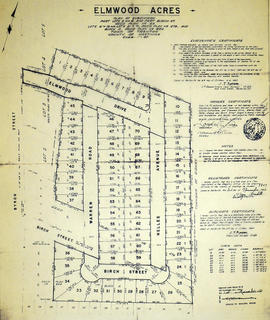
- CA ON00156 2018-115
- Collection
- 1947-1961
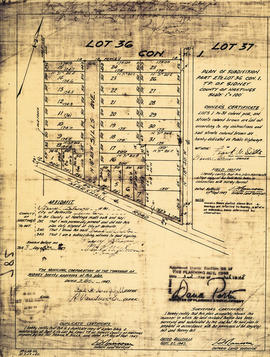
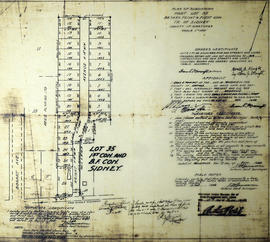
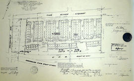
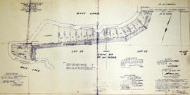
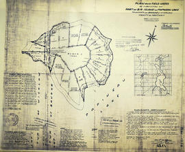
Two maps:
1) Plan of Belleville Harbour area, South Front Street, South Church Street, South John Street and South George Street, showing filled-in city dump area and former shoreline, by John T. Ransom, 1947
2) Plan of the mouth of the Moira river, showing the CPR railway bridge and filled-in land, by Tom Ransom, 1961
Ransom, John Thomas, P.L.S.