Air Surveys of Belleville, Ontario
- CA ON00156 M/M470-2690 - 2693
- Item
- 1979-1982
Part of Map collection
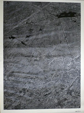
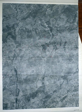
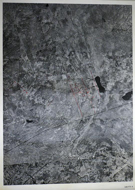
All air surveys were completed in 1979 and published in 1982. Scale 1; 10,000. By the Ontario Ministry of Natural Resources, Map base by Survey and Mapping Branch, Air Photography.
1) M470-2690. Belleville, Sheet # 1, 10-18-3050-48900 showing areas of; Belleville and surrounding area, from the Bay of Quinte to near Hwy 401. The sheet includes both sides of Wallbridge Loyalist Road and both sides of the River Moira.
2) M470-2691. Belleville, Sheet # 2, 10-18-3050-48950 showing areas of; Belleville, Hwy 401, Cannifton, Corbyville, and Northerly along the Moira River to Concession 5.
3) M470-2692. Belleville, Sheet # 3, 10-18-3100-48900 showing areas of; East Belleville to both sides of Blessington Creek and Northerly from Bay of Quinte to CN Railway.
4) M470-2693. Belleville, Sheet # 4, 10-18-3100-48950 showing areas of; North section of Belleville, North of CNR and North of Hwy 401 including part of Concession 4. The Belleville Airfield is in the South East corner of the map.
Ontario. Ministry of Natural Resources and Forestry