


Identity area
Reference code
CA ON00156 M/M470-1559 - 1573, 1576 - 1579, and 1585 - 1621
Title
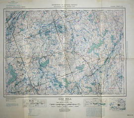
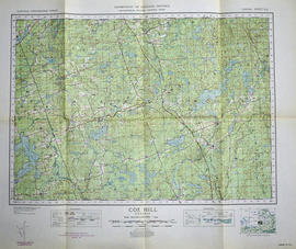
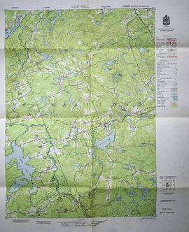
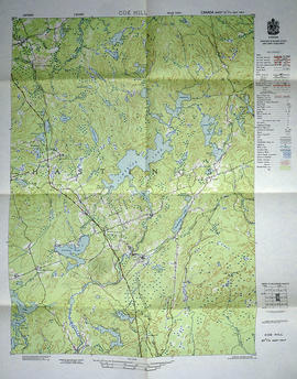
Topographical Maps from the Department of National Defence
Date(s)
- 1932-1956 (Creation)
Level of description
Series
Extent and medium
55 folded maps (various sizes)
Context area
Name of creator
Archival history
Immediate source of acquisition or transfer
Content and structure area
Scope and content
A series of topographical maps of Hastings County and the surrounding area, published by the Army Survey Establishment - National Department of Defence from the 1930s - 1950s.