Topographical Map of the Belleville to Kingston
- CA ON00156 M/M470-1659
- Item
- 1935
Parte de Map collection
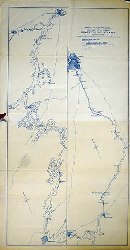
A topographical map of the area between Belleville and Kingston. The total area extends from Prince Edward County to Buckshoot Lake North & South and from Havelock to Smith Falls East and West. Dated 1935. Published by the Department of National Defense.
Donated by Eric Jones.
Sem título