- CA ON00156 HCHS Brochures/HC03037
- Item
- 1924
Part of Hastings County Historical Society Brochure collection
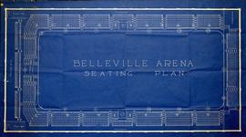
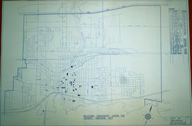
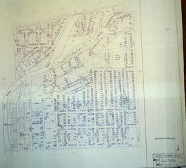
Brochure produced by the City of Belleville, featuring businesses, homes and activities in the Belleville and Quinte area of Ontario.
City of Belleville