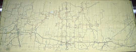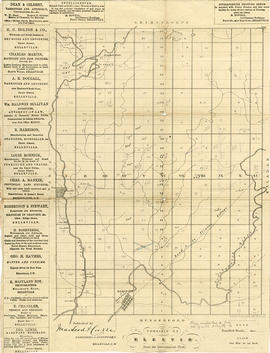
Elzevir Township Map # 446772E
- CA ON00156 M/M470-2591 - 2616/2613
- Item
- c. 1950
Part of Map collection
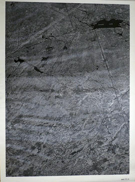
A reproduction of an air survey photograph produced by the Ontario Ministry of Natural Resources. Map #446772E of Elzevir Township in Hastings County, Ontario. Circa 1950.
The photograph shows the North East part of Elzevir Township, Elzevir Creek and the Skootamata River.
Donated by Walter I. Watson, P.L.S.
Ontario. Ministry of Natural Resources and Forestry