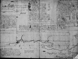
Map of the Counties of Hastings and Prince Edward
- CA ON00156 M/M420-1093
- Item
- 1898
Part of Map collection
A "Map of the Counties of Hastings and Prince Edward." In 1898, the lots, concessions, churches, schools and mines are shown of the townships in Hastings and Prince Edward. Scale: 1.5 miles to an inch. Published by the Canadian Map Publishing Company in Hamilton, Ontario, for the Belleville Sun. Revised by Henry Carre, C.E. Inset is the map of North Hastings, scale 400 chains to an inch.
Carre, Henry, O.L.S.