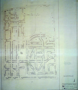
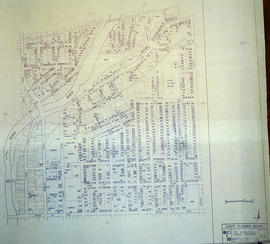
Canada Mines and Technical Surveys
- CA ON00156 M/M460-1533
- Item
- March 1954
Part of Map collection
"Canada Mines and Technical Surveys" covering area in Ontario and Southwestern Quebec. Published 1954. Scale: 50 miles to 1 inch.
Canada. Department of Energy, Mines and Resources