Showing 111 results

Archival description
Geographic features With digital objects
Print preview Hierarchy View:
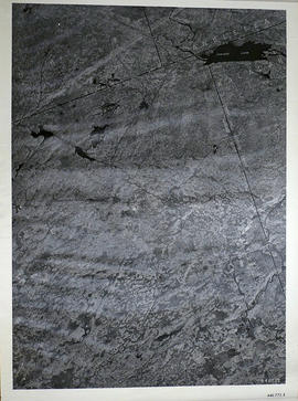
Elzevir Township Map # 446772E
Elzevir Township Map # 446772W
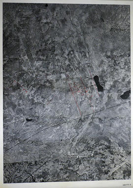
Madoc Township Map # 446773E
Lake Township Map # 446773W
Canada Mines and Technical Surveys
Champlain Map of 1616
Map of Sidney Township 1878
Map of the Trent Port
Map of Districts of Prince Edward and Midland
Map of District of Prince Edward County
New Railway and Commerical Map of Ontario
Plan of Gatling Co.'s Gold Mining Property and adjoining lots in Marmora
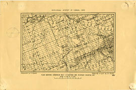
Geological Map of Madoc Gold Region
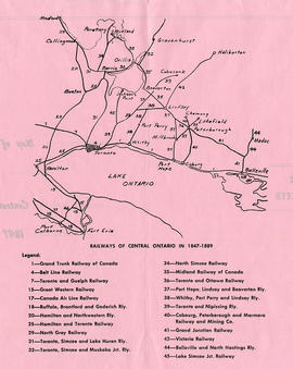
Map of Central Ontario Railways in 1847-1889
Aerial View of Quinte Cruising Waters
Map of Hastings Highlands, Trenton and Belleville
Plan showing Corundum Deposits in Hastings County
Map of Hastings, Frontenac, Lennox and Addington 1850 reprint
Road Map of Hastings County 1969
Maps of the Districts of Upper Canada
Results 81 to 100 of 111