Showing 61 results
Archival description34 results with digital objects Show results with digital objects

Canadian Soldier's Handbook of General Information

Collage of topographical maps of Trenton area

Crippled

Do's and Don'ts for Troops Going Overseas
Hastings and Prince Edward Counties Topographical Map
Hastings and Prince Edward Counties Topographical Map
Information for Canadian servicemen in the Second World War
Information for Canadian servicemen in the Second World War
Military City Map of Trenton and Belleville
Military City Map of Trenton and Belleville

Reproduction aerial photographs of Deseronto, Ontario

Security Pamphlet No. 2 If You Are Captured

...So You're On Your Way!

Topographic Map of Ontario - Belleville Sheet

Topographical map of Bancroft - east half

Topographical map of Bancroft - east half

Topographical map of Bancroft - west half

Topographical map of Bancroft - west half

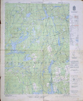
Topographical map of Bannockburn - Canada sheet
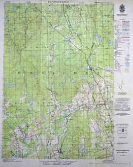
Topographical Map of Bannockburn - east half
Topographical Map of Bannockburn - west half
Topographical map of Barry's Bay - Canada sheet
Topographical map of Barry's Bay - Canada sheet
Topographical map of Bath - Canada sheet
Topographical map of Bath - Canada sheet
Results 1 to 20 of 61