Showing 32 results
Archival description
Collage of topographical maps of Trenton area

Crippled

Do's and Don'ts for Troops Going Overseas

Security Pamphlet No. 2 If You Are Captured

...So You're On Your Way!

Topographic Map of Ontario - Belleville Sheet

Topographical map of Bancroft - east half

Topographical map of Bancroft - east half

Topographical map of Bancroft - west half

Topographical map of Bancroft - west half

Topographical map of Bannockburn - Canada sheet
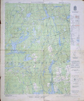
Topographical Map of Bannockburn - east half
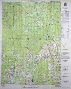
Topographical Map of Bannockburn - west half

Topographical Map of Belleville - Canada sheet

Topographical map of Belleville - east half

Topographical map of Belleville - west half
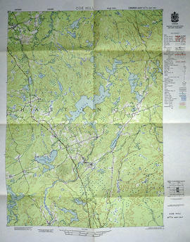
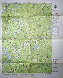
Topographical map of Coe Hill - Canada sheet
Topographical map of Coe Hill - east half
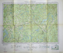
Topographical map of Coe Hill - west half
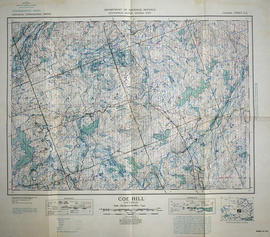
Topographical map of Coe Hill, Ontario
Results 1 to 20 of 32