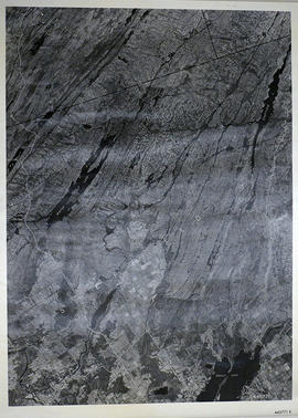
A reproduction of an air survey photograph produced by the Ontario Ministry of Natural Resources. Map # 444773E of Rawdon Township in Hastings County, Ontario. Circa 1950.
The photograph shows Rawdon Township from the eastern border to Hwy 14, Harold and Springbrook Villages, western Huntingdon Township, southern Marmora and Madoc Townships, Banker Lake.
A reproduction of an air survey photograph produced by the Ontario Ministry of Natural Resources. Map # 444773W of Rawdon Township in Hastings County, Ontario. Circa 1950.
The photograph shows Rawdon Township, Concession 8 to 14, west of Hwy 14, small sections of Marmora Township including Marmora Village and Crow Lake and a small part of Seymour Township in Northumberland County
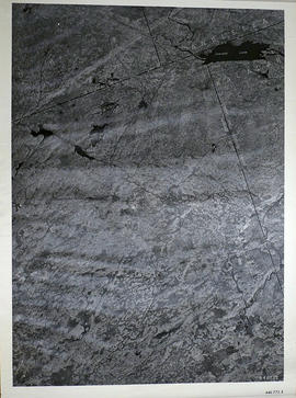
A reproduction of an air survey photograph produced by the Ontario Ministry of Natural Resources. Map #445771E of Sheffield Township in Lennox and Addington County, Ontario. Circa 1950.
The photograph shows Sheffield Township, Concession 3 to 9, Beaver Lake and north to Kaladar Township, Concession VIII to XI, Lingham Lakes in Grimthorpe Township in Hastings County.
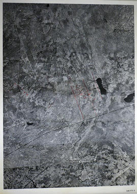
A reproduction of an air survey photograph produced by the Ontario Ministry of Natural Resources. Map #446772E of Elzevir Township in Hastings County, Ontario. Circa 1950.
The photograph shows the North East part of Elzevir Township, Elzevir Creek and the Skootamata River.
A map describing areas of fishing in Tweed. The map covers the following townships: Scale 1cm:1km. Published by the Ontario Ministry of Natural Resources in 1989.
A map describing areas of land ownership and fish species in Bancroft/Mazinaw. The map covers the following townships: Hastings County: Lake, Tudor & Grimsthorpe Lennox and Addington County: Ashby, Denbigh, Effingham, Abinger & Anglesea Frontenac County: Barrie, Clarendon, Miller, North Canonto, South Canonto, & Palmerston
Scale 1cm:1km. Published by the Ontario Ministry of Natural Resources in 1993.
A map of the Napanee Administrative District including Northumberland, Hasting County, Prince Edward County, Lennox Addington counties. Published by the Ministry of Natural Resources in 1980.
A reproduction of an air survey photograph produced by the Ontario Ministry of Natural Resources. Map #443771E of Richmond Township in Lennox and Addington County, Ontario. Circa 1950.
The photograph shows Richmond Township and the east part of Tyendinaga Township.
A reproduction of an air survey photograph produced by the Ontario Ministry of Natural Resources. Map # 443772E of Thurlow Township in Hastings County, Ontario. Circa 1950.
The photograph shows the east part of Thurlow Township and west part of Tyendinaga Township from Concession 5 to Concession 8.
A reproduction of an air survey photograph produced by the Ontario Ministry of Natural Resources. Map #444772E of Hungerford Township in Hastings County, Ontario. Circa 1950.
The photograph shows Hungerford Township, Concession 3 to Tweed Village, Stoco Lake and Bogart Village.
A reproduction of an air survey photograph produced by the Ontario Ministry of Natural Resources. Map #445772W of Hungerford Township in Hastings County, Ontario. Circa 1950.
The photograph shows the east part of Hungerford, southeast corner of Elzevir, west part of Sheffield and southwest part of Kaladar Townships in Lennox and Addington County.
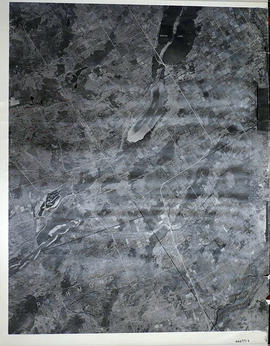
A reproduction of an air survey photograph produced by the Ontario Ministry of Natural Resources. Map #446773E of Madoc Township in Hastings County, Ontario. Circa 1950.
The photograph shows the northern part of Madoc Township, Bannockburn, Tudor Township, Concession 1 to 9, Robinson Lake, Westerly to Millbridge, Moira River, Highway 62, and the Canadian National Railway.
A map of the Universal Transverse Mercator Grid System covering area in Zone 06 from Havelock to Brockville. Scale 1:250,000. Published by the Ministry of Natural Resources April 1st, 1989.
A reproduction of an air survey photograph produced by the Ontario Ministry of Natural Resources. Map # 443773E of Rawdon Township in Hastings County, Ontario. Circa 1950.
The photograph shows Glen Ross, Oak Lake, Stirling and north to Concession 7.
A reproduction of an air survey photograph produced by the Ontario Ministry of Natural Resources. Map #444771E of Sheffield Township in Lennox and Addington County, Ontario. Circa 1950.
The photograph shows the southwest part of Sheffield Township, Concession 1 to 6, Hwy 49, northwest corner of Camden East, northeast corner of Richmond Township and southeast corner of Hungerford with Village of Marlbank and Lime Lake.
A reproduction of an air survey photograph produced by the Ontario Ministry of Natural Resources. Map # 444771W of Hungerford Township in Hastings County, Ontario. Circa 1950.
The photograph shows Hungerford Township from Tyedinaga Township north to Bogart and Claire River.
A reproduction of an air survey photograph produced by the Ontario Ministry of Natural Resources. Map # 444772W of Huntingdon Township in Hastings County, Ontario. Circa 1950.
The photograph shows Huntingdon Township, Fuller Village north to Concession 13 and Moira Lake.
A reproduction of an air survey photograph produced by the Ontario Ministry of Natural Resources. Map #445772E of Hungerford Township in Hastings County, Ontario. Circa 1950.
The photograph shows the northeast part of Hungerford Township, south of Elzevir Township, Hwy 7 and Skootamata River.
A reproduction of an air survey photograph produced by the Ontario Ministry of Natural Resources. Map #445772W of Madoc Township in Hastings County, Ontario. Circa 1950.
The photograph shows Madoc Township, Concession 5 to 9, Huntingdon Township Concession 14, northwest Elzevir Township, Queenboro and Black River.