Affichage de 46 résultats

Description archivistique
Ontario. Ministry of Natural Resources and Forestry Anglais
Aperçu avant impression Hierarchy Affichage :

26 résultats avec objets numériques Afficher les résultats avec des objets numériques

Petroglyphs Provincial Park
Map of Paleozoic Geology of Kaladar and Tweed
Map of Land Ownership and Fish Species in Bancroft-Mazinaw
Map of Mineral Exploration in the Wicklow Area
Price List of Maps from the Public Service Centre
Map of Fishing in Tweed
Air Surveys of Stirling, Ontario
Air Surveys of Belleville, Ontario
Air Surveys of Hastings County, Ontario
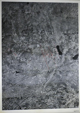
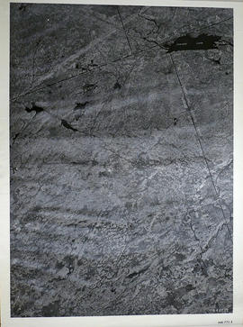
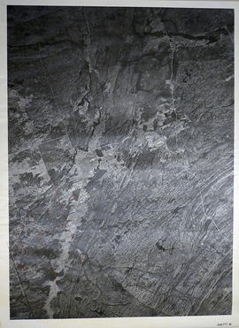
Aerial Photographs of Hastings County and surrounding areas
Lake Township Map # 446773W
Madoc Township Map # 446773E
Elzevir Township Map # 446772W
Elzevir Township Map # 446772E
Kaladar Township Map # 446771W
Kennebec Township Map # 446771E
Marmora Township Map # 445773W
Madoc Township Map # 445773E
Madoc Township Map # 445772W
Hungerford Township Map # 445772E
Résultats 1 à 20 sur 46