McNeil, Lauri "Queensboro School" S.S. #3, Elzevir Twp. H.C.H.S. Student Essay Contest
- CA ON00156 TR/3510-2
- Unidad documental compuesta
- 1986
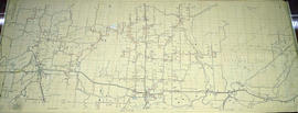
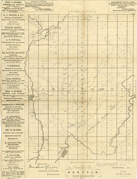
A report on the Queensboro School written by 6th grader Laura McNeil for Madoc Township. Includes photographs and statistics. 14 pages.